Exact time thunderstorms could hit Chesterfield and Derbyshire – as Met Office issues yellow warning following heatwave
and live on Freeview channel 276
A yellow warning for thunderstorms and heavy rain in Chesterfield and Derbyshire became active at 12.00pm today (Wednesday, July 20) and will expire at 10.00pm this evening.
The Met Office has reported that heavy showers and thunderstorms are expected to develop across central, southern and eastern parts of England.
Advertisement
Hide AdAdvertisement
Hide AdWhilst many places will only see relatively small amounts of rain, some slow-moving torrential downpours are possible. Where these occur, 20-30mm of rain is possible in an hour, and some areas could see more than 50mm of rainfall in three hours. Lightning may also be an additional hazard.
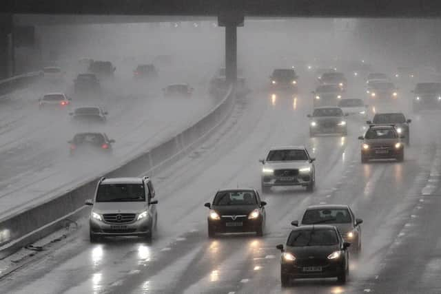

The Met Office said that spray and sudden flooding could lead to difficult driving conditions and some road closures. Where flooding or lightning strikes occur, there is a possibility of delays and some cancellations to train and bus services.
There is also a slight chance that power cuts could occur and other services to some homes and businesses could be lost.